Contributing biodiversity activity data
Organisations provide biodiversity management activity data to DEECA as part of funding or program agreement obligations, or via voluntary contributions. The activity data provided by organisations is used to assess progress in achieving the Biodiversity 2037 Plan contributing targets reported annually, and in the five-yearly State of the Environment Report. This data also informs and validates models used to identify the best locations for cost-efficient actions.
Organisations provide biodiversity management activity data to DEECA as part of a DEECA funding/program agreement obligation or by voluntary contribution.
When a DEECA funding agreement requires activity data reporting, the program lead will define the reporting needs.
Organisations or programs not covered by DEECA funding or program agreements have the option to voluntarily submit activity data to include their contributions to Biodiversity 2037. Voluntarily providing biodiversity activity data to DEECA is most suitable for medium to large organizations that can support their delivery partners in accurately recording their projects and activities.
Data can be provided in shapefile format that meet the Biodiversity 2037 activity data requirements. Reported activities must meet delivery standards described in agreements. DEECA’s Output Delivery standards are the minimum standard where not specified in an agreement.
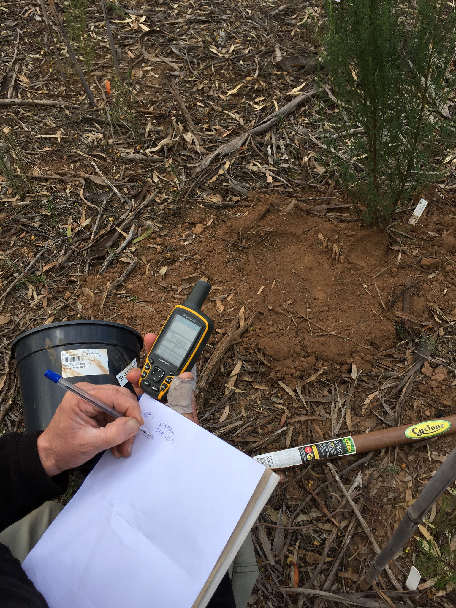
Shiny Daisy-Bush planting and monitoring. Credit: DEECA
Provide activity data using geographic information systems
Organisations that have existing Geographic Information Systems (GIS) capability can use their existing systems to map their activities and supply activity data to DEECA using shapefiles or geodatabase templates that are provided.
The ‘Biodiversity 2037 activity data requirements’ document describes the fields and valid values important for understanding activities delivered for biodiversity benefit. Projects using the shapefile method will need to make sure that only valid values are entered in the spatial attributes.
Biodiversity 2037 activity data requirements (Bio2037v1.0) – shapefile templates (ZIP, 61KB)
Biodiversity 2037 activity data requirements (Excel, 171KB)
Organisations such as Catchment Management Authorities (CMAs) that are familiar with ESRI geodatabase format can use the biodiversity related outputs geodatabase template.
Download the ESRI biodiversity output data geodatabase: Biodiversity related outputs_gdb_template.zip (ZIP, 808)
Provide additional data
Geodatabase users are invited to optionally share additional data in line with Biodiversity 2037 activity data requirements. The ‘Supplementary data_ActivityKit_DEECA Standard Outputs’ Excel template is provided for this purpose.
Supplementary data_ActivityKit_DEECA Standard Outputs (Excel, 77KB)
The following Excel file provides the list of biodiversity related activity outputs, fields and field attributes contained in the geodatabase template. It also provides brief explanations of field attributes.
Biodiversity related outputs geodatabase: fields and attributes list (Excel, 92 KB)
Accurate representation of projects and activities is important, regardless of the software used. The following links provide some advice about mapping activity data using a geodatabase.
Mapping activity data using a geodatabase (PDF, 271 KB)
Mapping activity data using a geodatabase (accessible version) (DOCX, 2.13 MB)
The biodiversity related outputs geodatabase aligns directly with the Output data standard (v3.0) 2021 for Natural Resource Management Reporting. Background and further geodatabase and DEECA Output data standard information is available from the Output data standard web page via the link provided below:
Guides are available for mapping weed management and animal control activities.
Creating spatial features for reporting: weed control (PDF, 525.2 KB)
Creating spatial features for reporting: weed control (accessible version) (DOCX, 2.4 MB)
Creating spatial features for reporting: animal control (PDF, 327.9 KB)
Creating spatial features for reporting: animal control (accessible version) (DOCX, 1.5 MB)
VBA species observations
Please note: Some activities require the recording of a species taxon ID from the Victorian Biodiversity Atlas (VBA).
Find a species taxon ID: VBA Species Checklist
Guides are available for generating an up-to-date VBA species checklist:
How to generate a VBA species check list (PDF, 121 KB)
How to generate a VBA species check list (accessible version) (DOCX, 310 KB)
For more information about biodiversity activity output data standards email: biodiversity.info@deeca.vic.gov.au
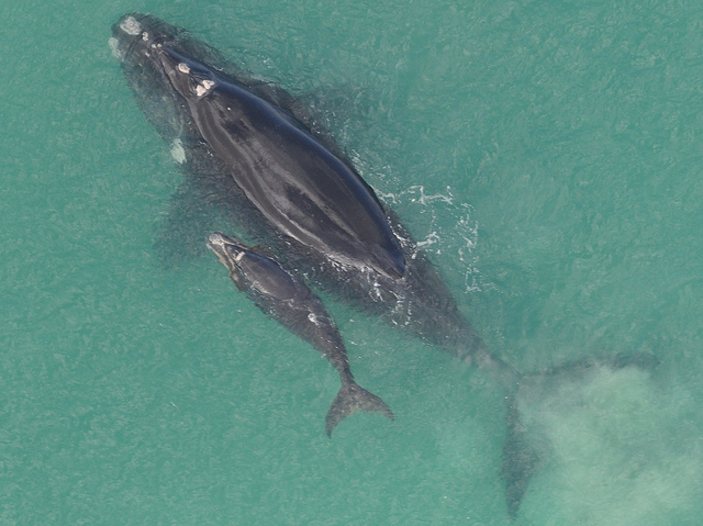
Southern Right Whale (Eubalaena australis), Credit Mandy Watson (DEECA)
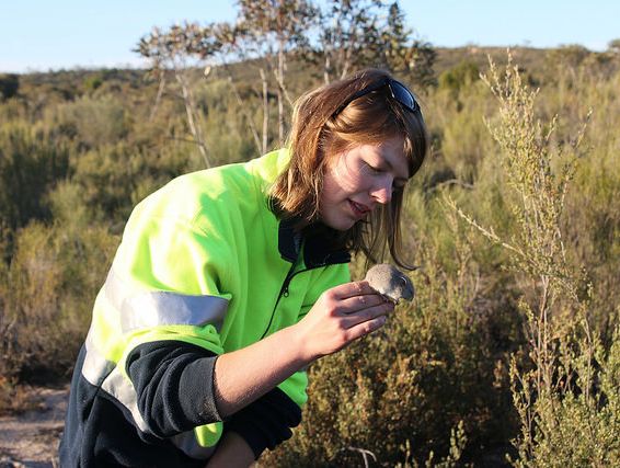
Silky Mouse (Pseudomys apodemoides), Big Desert State Forest. Credit DEECA
Questions and answers
Creating spatial features for reporting: animal control describes how to create accurate spatial features for reporting terrestrial and marine pest animals, overabundant native herbivores and overabundant marine wildlife management where the objective is biodiversity protection.
Creating spatial features for reporting: weed control describes how to create accurate spatial features for reporting weeds, overabundant or out of range native plant management where the objective is biodiversity protection.
The guides are accessible using the links below.
Creating spatial features for reporting: weed control (PDF, 525.2 KB)
Creating spatial features for reporting: weed control (accessible version) (DOCX, 2.4 MB)
Creating spatial features for reporting: animal control (PDF, 327.9 KB)
Creating spatial features for reporting: animal control (accessible version) (DOCX, 1.5 MB)
The mapped data that an organisation/program supplies to DEECA will be compiled and stored so that it is available for analysis and reporting. It will be used for program reporting and bi-annual reporting for Biodiversity 2037 and the five yearly State of the Environment Report. The data will be compiled into a map layer that is publicly accessible and available.
The activity data that an organisation/program provides will be used to determine progress in reaching the Biodiversity 2037 Contributing Targets, and to verify models used to determine the best places to take cost-effective actions. The data will be used for annual, bi-annual and 5-yearly statewide reporting.
The spatial activity information that an organisation/program provides to DEECA will be able to be viewed by any person or organisation once it is published through a range of web maps, or by downloading the data from data.vic.gov.au
Once enough activity information has been compiled DEECA will publish this spatial information to data.vic.gov.au and publish it through a range of publicly available web maps. This will allow organisations to see and use the data supplied to DEECA, as well as information supplied by others.
Yes, once the data has been compiled and uploaded to data.vic.gov.au, any person or organisation can access the data they have supplied as well as data supplied by other organisations/programs.
If the data supplied does not comply with the data standards, or is in a format that DEECA cannot use, the activities within that program will not be counted towards Biodiversity 2037 targets. If this information is required as part of a funding agreement with DEECA, the organisation/program will need to correct the information and re-supply it to DEECA.
A map layer of the supplied spatial information will be available from data.vic.gov.au in due course.
Credit: Marcia Riederer (DEECA)
Contact us
For more information about ActivityKit or biodiversity activity output data standards email: biodiversity.info@deeca.vic.gov.au
Page last updated: 04/12/25