DEECA and its predecessors have a long history of capturing, analysing and distributing spatial datasets that provide consistent statewide coverage of Victoria’s biodiversity. These spatial data products are described below, with links to more detailed information on particular datasets where available.
The spatial data foundation is generally available to users in two ways:
NatureKit – DEECA’s interactive biodiversity web mapping platform. The NatureKit Layers & Datasets page details information on data sources and provides video tutorials of common NatureKit functions.
GIS files – data that can be downloaded from DEECA’s DataShare platform and analysed within Geographic Information Systems (GIS) software, such as ESRI’s ArcGIS Pro and the open source QGIS.
For vector spatial datasets (points, lines, polygons), DataShare allows users to filter and reproject data prior to download. Raster datasets can only be downloaded at their full extent and native projection.
Spatial Data Foundation Datasets
The Habitat Value map combines information on thousands of species habitats to show the relative biodiversity value of landscapes in Victoria.
Habitat Value ranks the value of biodiversity by considering the number of species for which a location provides habitat and their rarity in a statewide context to enable a comparison of all locations across Victoria. This map can be used to help prioritise areas for protection or to help avoid areas of high biodiversity value in development footprints.
For more information, go to Habitat Value
Download link - Habitat Value - DataShare
Habitat distribution models (HDMs) predict where suitable habitat may exist for a species, based in part on verified observations of the species as recorded in the Victorian Biodiversity Atlas.
For more information, go to Habitat distribution models (HDMs)
Download link - Habitat Distribution Models - Threatened Species - DataShare.
Strategic Management Prospects (SMP) is a spatially explicit tool that shows where and how we can take cost-effective action to make the biggest difference for as many species as possible across Victoria, and guide on-ground management. For more information, go to Choosing actions for nature.
SMP is currently not available for download but can be explored in NatureKit.
The VBA species observations are a foundation dataset that feeds into some of the many biodiversity tools used in everyday decision making - showing where wildlife is now and how this has changed over time.
For more information, go to the Victorian Biodiversity Atlas website.
The VBA database contains over 10 million records. Managing all of these data in a single data download is impractical, so the data are divided into flora and fauna, and then further divided by the quality of the records. Finally, there are additional datasets that manage restricted records, and various summarised versions of the VBA records.
VBA flora records (unrestricted) high spatial accuracy - DataShare
VBA flora records (unrestricted) moderate to low spatial accuracy - DataShare
VBA fauna records (unrestricted) high spatial accuracy - DataShare
VBA fauna records (unrestricted) moderate to low spatial accuracy - DataShare
Certain records are considered sensitive, so their locations have been denatured to a 1-minute polygon grid to allow general data access. These records are stored separately and should be used in conjunction with the flora and fauna datasets above.
VBA Restricted Records (public view) - 1 minute grid - DataShare
The dataset download links below summarise flora and fauna records against a standard grid of 1, 5, and 10 degrees of longitude/latitude (GDA94). Any taxa record that intersects any part of these grid cells is counted as a record for that cell.
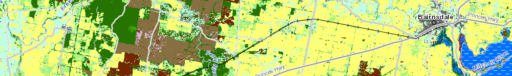
The Land Cover Time Series provides a visual and analytical snapshot of the current and previous type of cover over different areas. That cover can include native forests, bushland, wetlands, farmland, land used for recreation, and built up areas, including towns and cities.
The extent of native vegetation is dynamic. The land cover dataset builds DEECA’s capacity to capture information of this nature, and to track changes in vegetation over time.
For more information, go to Victorian Land Cover Time Series.
Download link - Victorian Land Cover Time Series - Datashare
Ecological Vegetation Classes (EVCs) are the standard unit for classifying vegetation types in Victoria. EVCs are described through a combination of floristics, lifeforms and ecological characteristics.
Bioregions are a landscape-scale approach to classifying the environment using a range of attributes such as climate, geomorphology, geology, soils and vegetation. Victoria’s bioregions are subregions of the national bioregional dataset – IBRA
For more information, go to Bioregions and EVC benchmarks.
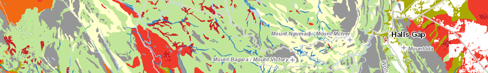
The dataset download links below contain the modelled extent of Ecological Vegetation Classes in 1750 and 2005, and Victorian bioregions.
Page last updated: 26/06/25