Final acquittal reporting (detailed below) is due by 31 August 2018
Unless agreed otherwise in a DELWP approved project variation
RLTA Reporting Components
You will receive an email from SmartyGrants with a unique link to the Acquittal Report Template Form
- Log in to SmartyGrants via the link in your email.
- Click on the Acquittal tab.
- Click on 'My Submissions' and select your project number.
- Click on the form labelled ‘BOA Regional Landscapes and Targeted Actions - Final Acquittal template’.
You may submit your report any time prior to the due date. You can save a draft copy of the report at any time in SmartyGrants, for later submission.
Please keep a copy of your contract and project plan handy while filling out this form. We will cross reference your report against those documents to ensure all activities have been carried out.
Information provided may be used to contribute to a case study to demonstrate and highlight program achievements.
Note: Only one user can be registered with SmartyGrants per project, so the notification email will be sent to the SmartyGrants registered user which is often the person that submitted the original application form.
Troubleshooting
If you want to change the access of your form to another user, please email your project number, new contact person and new email address to enviro.grants@delwp.vic.gov.au. Both the previous and new user will be notified via SmartyGrants.
If you did not receive a link from SmartyGrants, you can log into SmartyGrants here.
If you have forgotten your password, click the option to reset password on the SmartyGrants login page.
Photo consent form
Please download and complete the DELWP photo consent form for each photo that you give permission for DELWP to publish. There is a field where you can upload the completed form in SmartyGrants.
Mapped output data, also known as spatial output data, uses DELWP Output Data Standards.
The Output Data Standards were developed by DELWP in 2012 to help account for the significant annual investment made by DELWP, and other stakeholders.
The Standards describe the minimum information requirements for reporting on the most common goods and services (i.e. outputs) that the department purchases through its range of investment programs.
Specifically, the Standards provide:
- a range of standard descriptors for the outputs from investment
- clarity on the requirements for reporting on investment outputs
- the basis for consistent data, systems and reporting on investment outputs.
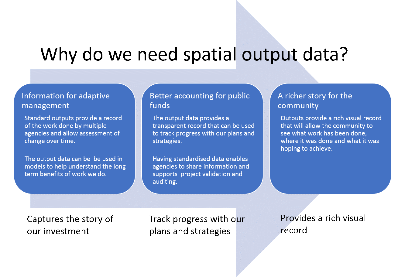
Output data can be used to support adaptive management by providing a record of the work done by multiple agencies and allow monitoring of change over time. The data can also be used in models to help predict the long-term benefits of work we do.
Critically, the output data provides a transparent record that can be used to track progress with our plans and strategies, and the standardised data enables agencies to share information and support project validation and auditing.
Output data provides a rich visual record that will allow the community to see what work has been done, where it was done and what it was hoping to achieve.
For project acquittal, mapping outputs will help projects determine area(s) treated. needed for their final acquittal.
Options for submitting spatial data
There are two options for submitting project spatial output data for Biodiversity On-ground Action – Regional Landscapes and Targeted Action projects.
Option A - Organisations that DO NOT have existing Geographic Information Systems (GIS) capability
Option A. Organisations that DO NOT have existing Geographic Information Systems (GIS) capability can map and record their outputs directly into ActivityKit.
Option B - Organisations that have existing Geographic Information Systems (GIS) capability
Option B. Organisations that have existing Geographic Information Systems (GIS) capability can use their existing systems to record the outputs.
Detailed instructions for each option are available here.
This component is only required if you project included species data collection.
More information and guides on how to use the Victorian Biodiversity Atlas (VBA) can be accessed here.
Instructions for providing data to the VBA
Contribution of data to the VBA is open to all at: https://vba.dse.vic.gov.au.
First time users need to sign up as a contributor ('Sign Up' button) and complete the form. Registration approval may take a couple of days. Once approved you will be able to add records to the VBA.
Options for Submitting data to the VBA
There are two options for entering data into the VBA, depending on the volume of data.
Option 1: Smaller number of records
To enter a small amount of data directly into the VBA website you will need to create a project first before adding data. Further instructions are available below:
VBA Contribute - Create a project.pdf
VBA Contribute - Add a survey and species records to a project.pdf
Option 2: Larger volume of records
This requires you to populate an excel template to upload data to the VBA. If you need this option, please email vba.help@delwp.vic.gov.au for assistance.
Page last updated: 04/09/19