On this page:
About the park
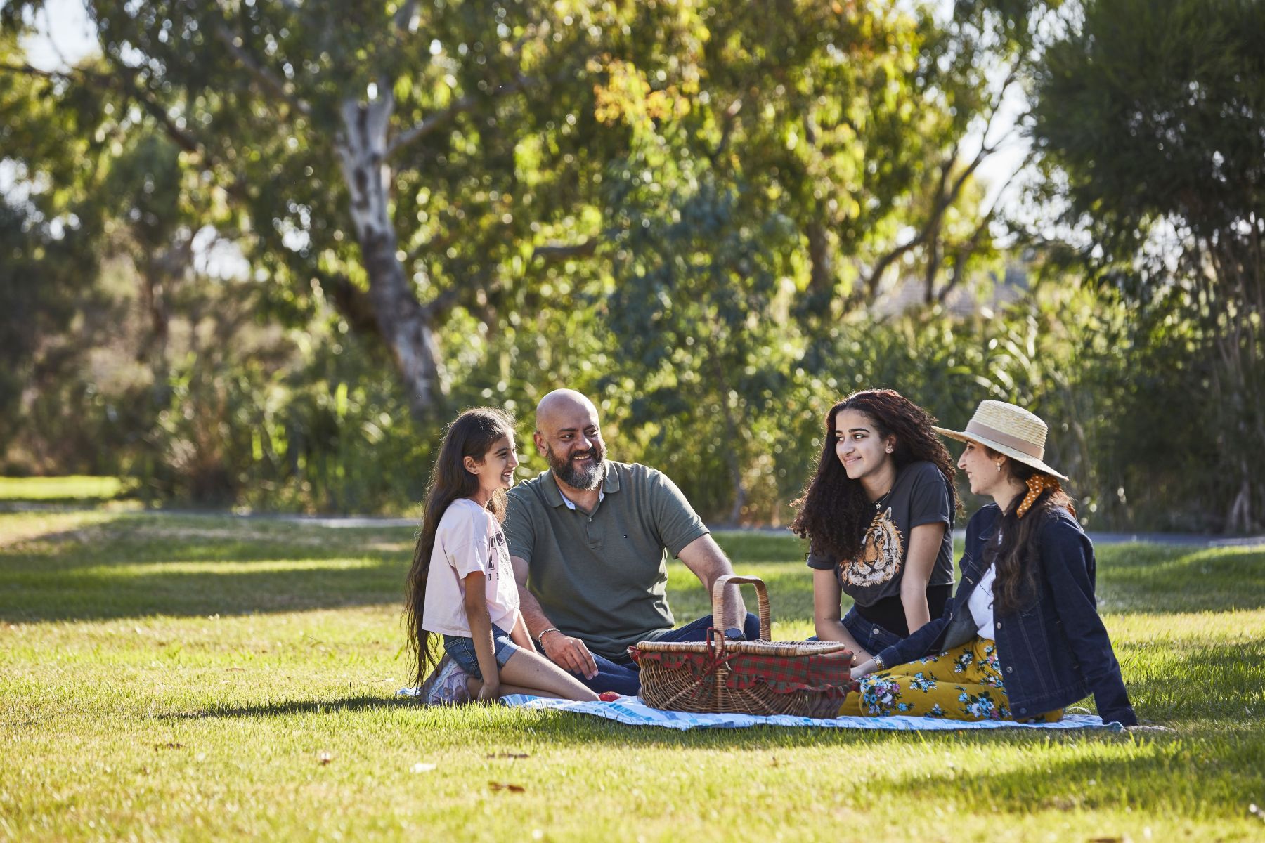
This 120-hectare park in southeast Melbourne will be an exciting new destination for communities in and around Clyde.
There will be accessible areas for healthy outdoor activities and a focus on providing protection for native plants and animals. Refreshing, cool, shady spaces will help address the challenges of climate change.
We plan to enhance Clyde Creek and its surrounds for recreation and help protect biodiversity in the former Koo Wee Rup swampland.
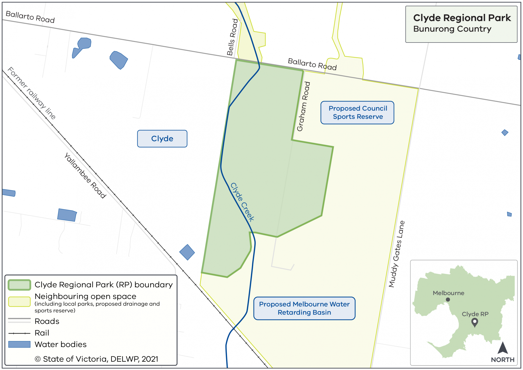
Where will the park be located?
The new park will be co-located with the Clyde Park Sports Precinct. Together they will create one large community space for relaxation and activities. Melbourne Water also plans to add further area by reserving neighbouring land for drainage.
Clyde Regional Park map
Timeline
-
Government commitment to create a ring of parkland around Melbourne
November 2018
-
Planning phase
2019 to 2022
-
Community consultation - stage 1
May to July 2021
-
Community consultation - stage 2
April to May 2022
-
Final strategic directions plan
Mid to late 2022
We are working closely with key partners, stakeholders, Traditional Owners and the community to create the new Clyde Regional Park.
Want to get involved?
Community consultation is currently closed.
Follow Clyde Regional Park's project progress and community engagement activities at Engage Victoria.
More information
For a fact sheet, contact the Suburban Parks Program team.
Page last updated: 01/03/24